On this page
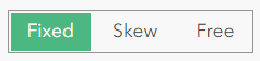
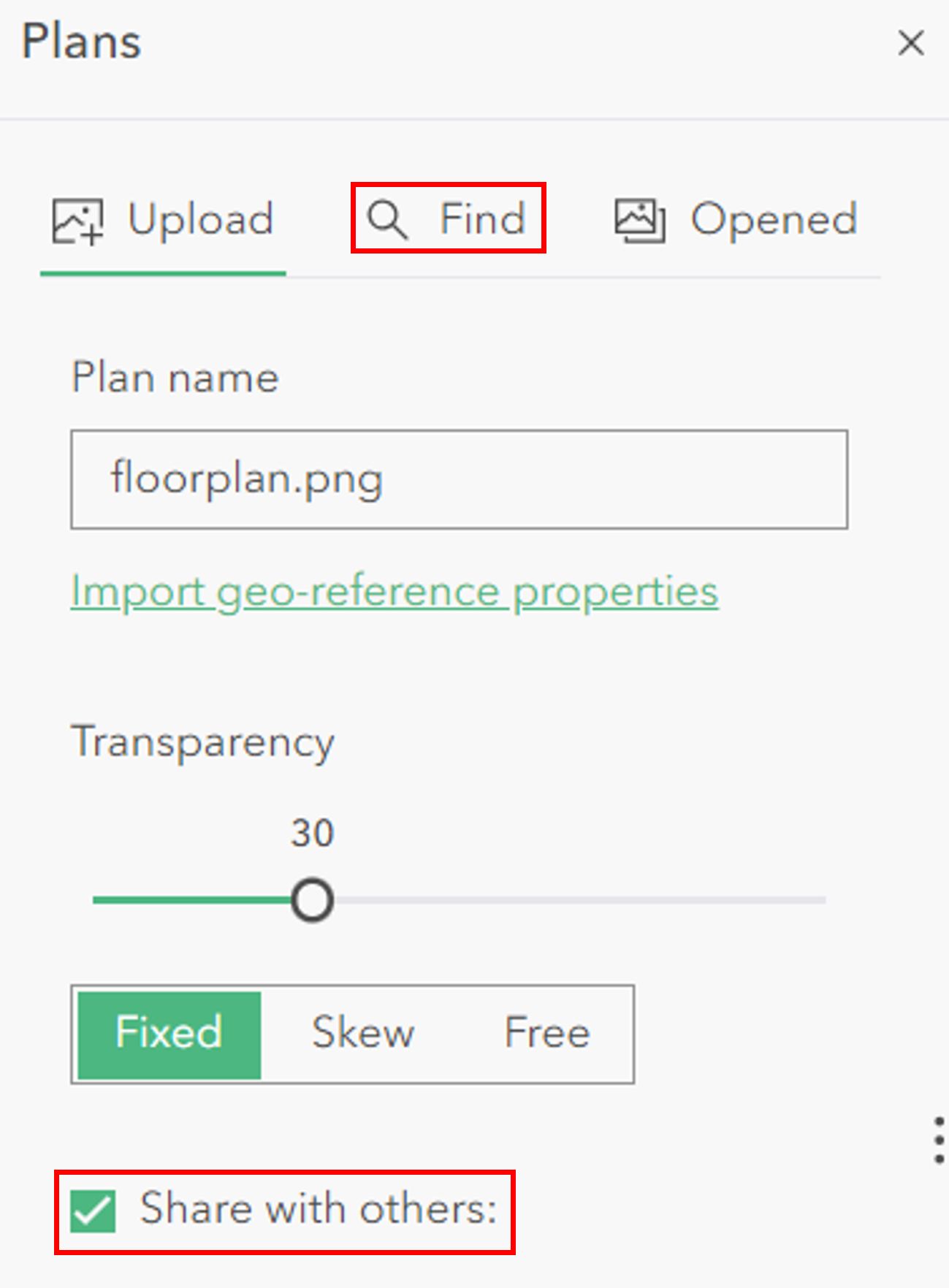
In Sweet for ArcGIS you can upload images in JPG or PNG format, tell Sweet where they should be and proceed to edit against them. In the simple view, images can be added to the map and be reshaped using simple placement, rotation, scaling, skewing and distortion.
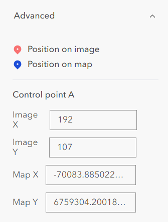
If a user enables advanced options they will be able to enter control points as inputs. These control points can be entered in different projections to the map (if configured in the builder).
There are also other capabilities in the Plans panel such as enabling the image to be shared with others using the same app, renaming the plan and searching for existing plans.
Configuration
To enable Plans functionality follow these steps:
- Add a New Panel.
- Select Plans.
- Plans has two options: Choose an existing or Create a new image/plans service.
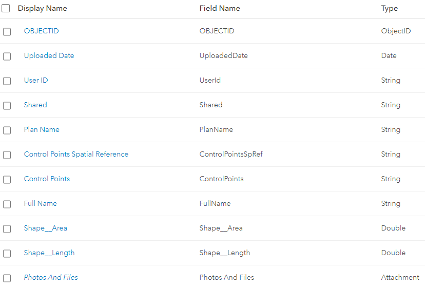
- Select Choose to select an existing plans service which matches the below schema:
- Select Create and Sweet will create a new plans service in the portal. To create a new service in ArcGIS Enterprise, the portal must have the ability to host content.
Enable Different Coordinate Systems for Control Points
Users can enter coordinates for control points in different coordinate systems if the functionality is enabled from the Builder. To give users additional coordinate systems see the help page about Coordinate Systems.